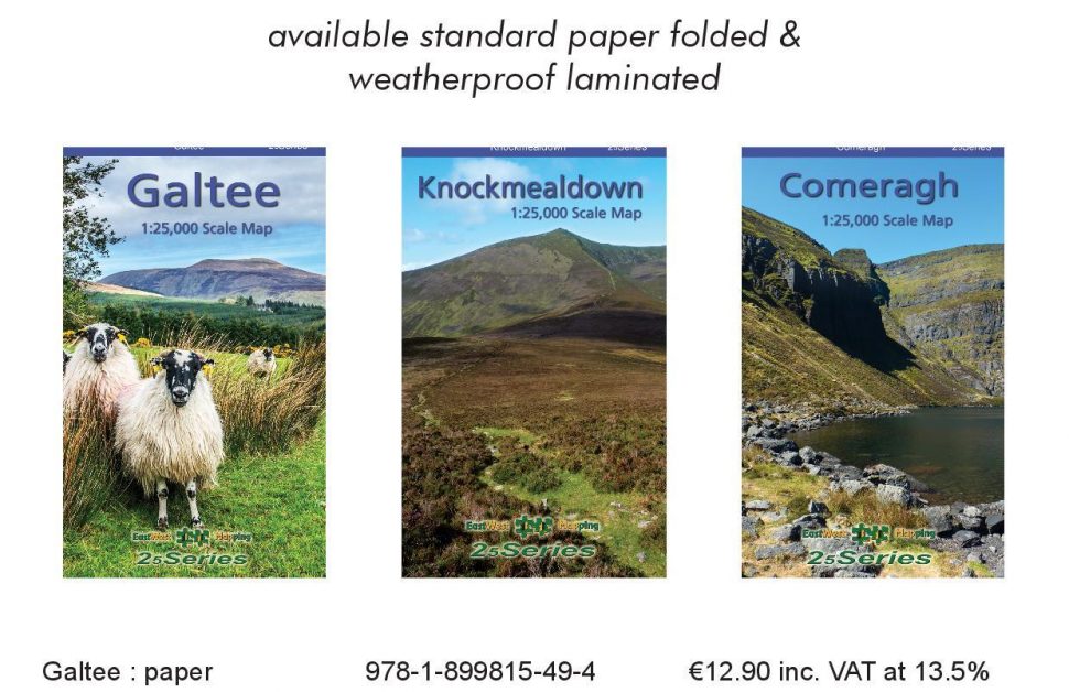
East West Mapping - New Maps of Galtee, Knockmealdown and Commeragh
Outdoor
Activities
Walks
Comeraghs
Knockmealdowns
Galtees

-
Contact:
Brian Dalby
-
Address:
Enniscorthy , Wexford
- Web:
- Phone:
There are new maps for the Galtee, Knockmealdown and Comeragh Mountains are now available in both standard paper and laminated versions. These are produced to our 25Series standard, detailed topographic mapping at 1:25,000 scale with a 5 metre contour interval for fine navigation. They are general topographic maps with a generous amount of information on heritage sites and placenames etc. Signposted walking trails and greenways are depicted.
I'm very grateful to the small band of mostly local volunteers who checked draft map detail on the ground and who are credited on the respective maps. With their help, I hope that this series of three maps Comeragh, Galtee & Knockmealdown will serve the region well for a good few years to come.
Purchase Galtee map 1:25,000 scale on paper or encapsulated: Galtee
Purchase Knockmealdown map 1:25,000 scale on paper or encapsulated: Knockmealdown
Purchase set of three: Comeragh, Galtee & Knockmealdown maps 1:25,000 scale Paper: Set of Three
Purchase set of three: Comeragh, Galtee & Knockmealdown maps 1:25,000 scale Encapsulated: Set of Three
These maps are printed on good quality Progeo 90gsm map paper and available folded at €12.90. We are also offering fully encapsulated folded versions, these are covered in a tough flexible plastic laminate. This provides durability and weather proofing for all outdoor use and retail at €20.50. You can purchase a set of the above three maps in standard paper at €33 or weatherproof encapsulated at €57. Postage is free on orders over €50.
The three maps combined are available as a digital map running on smart phones – the app is called EastWest Maps. Playstore and AppStore.


